|
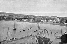
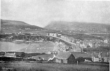
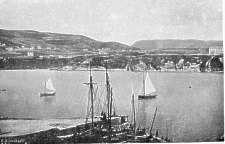
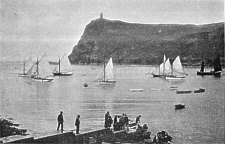
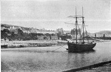
Port Erin The recently opened Marine Biological Station can be seen at the left of the bay (just above the sail of the yacht) - this station was later re-established in a much larger premises on the other side of the bay. |
|
|
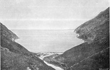
Port Erin |
|
|
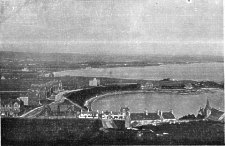
Port Erin
|
|
|
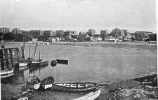
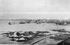
Port Erin The tower on the beach is one of a pair of lights indicating a safe passage past the damaged breakwater |
|
|
Port Erin
|
|
|
Port Erin
|
|
|
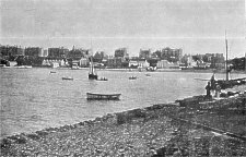
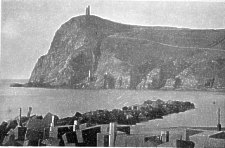
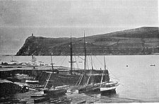
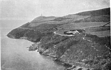
Bradda Head and Breakwater, Port Erin The remains of the storm wrecked breakwater can be clearly seen - a major risk to shipping as covered at higher tides hence the provision of two warning lights, one on a tower on the beach, the other near the promenade wall - the the lights align vertically a boat is on a safe course to avoid the damaged breakwater. Across the bay can be seen the chimney of the Bradda head mine |
|
|
Bradda Head, Port Erin
|
|
|
Bradda Head, Port Erin
|
|
|
Bradda Head and Spaldrick Bay, Port Erin
|
|
|
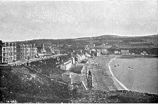
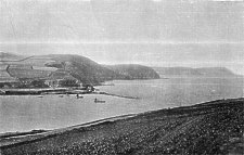
Cliffs from Bradda Head, Port Erin The wrecked breakwater is clearly visible making entry to the shore at high tide when the rocks are hidden quite dangerous. The area in front of the quarried cliffs to the rear of the breakwater was later the site of the second Marine Biological Station. |
|
|
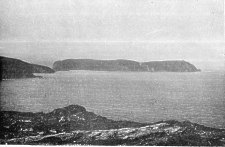
Calf of Man from Bradda Head
|
|
|
Fleshwich, near, Port Erin |
|
|
Port St. Mary
|
|
|
Port St. Mary
|
|
|
Port St. Mary
|
|
|
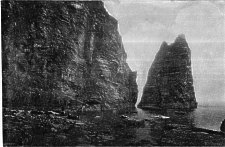
Sugar Loaf Rock, near Port St. Mary
|
|
|
Castletown
|
|
|
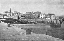
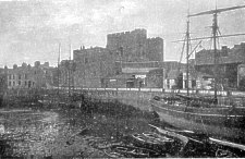
Rushen Castle and Harbour, Castletown
|
|
|
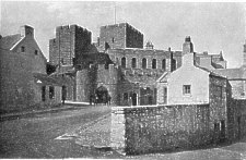
Rushen Castle, Castletown Note the photograph predates the building (in 1901) of Baillie Scot's Police Station - the then Police Station can be seen to the right of the Castle gate. |
|
|
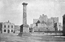
Rushen Castle and Monument, Castletown
|
|
|
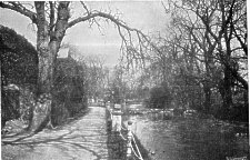
Rushen Abbey Grounds, Castletown
|
|
|
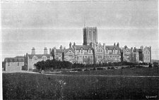
King Williams College, Castletown The school was founded in 1833 - many changes have occured in the 120 years since the photo (eg the new chapel) but the main building still stand. |
|
|
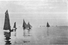
Yachts, off the Coast
|
