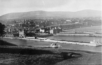
Douglas Harbour showing King Edward's Pier
Shows in foreground the new King Edward's Pier extending the old Red Pier (the extension required the demolition of the attractive old lighthouse) with the one-time Imperial Hotel long since converted to be offices for IoMSPCo, at its foot and the viaduct across Circus beach in the gap between the Red and Victoria Piers. The Victoria Sea terminal with its distinctive clock tower is visible - in front of which is the large Peveril Hotel
The sweep of Loch Promenade with its large boarding houses can be seen to the right.
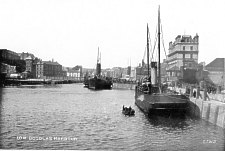
Douglas Harbour
Viewed from the seaward end of the King Edward Pier though would appear to considerably predate the actual extension of the old Red Pier - the swing bridge with its control tower can be seen behand the paddle steamer moored at the Double Corner - at the end of the pier can be seen the old Imperial Hotel.
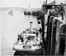
Douglas Head Ferry
Viewed from the Battery Pier (landing place for Douglas Head) - these small vessels were a popu;lar way of crossing the habour to reach Douglas Head
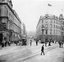
Victoria Street, Douglas
I think this photo dates c. 1910 based on the clothes worn - the cable car that ran to upper Douglas was removed 1929.
This shows the Jubilee Clock at the foot and the now demolished Villiers Hotel starting the sweep of hotels and boarding houses along Loch Promenade.
On the left is the Grand Hotel and Theatre.
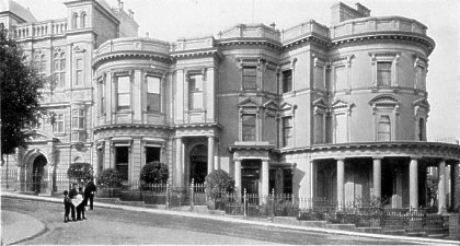
House of Keys
This photo too I think much predates the 1937 publication - judging from the lack of telephone wires I suspect this dates c.1895 - the 'wedding cake' legislative building is to the right - the actual Tynwald chamber is in the building to its left.
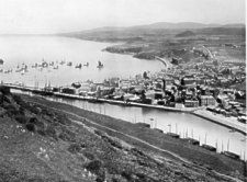
Peel
This view would appear to date pre 1900 - taken from Peel Hill
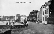
Peel Shore Road
Probably a view from the early 1930's
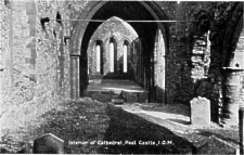
Interior of Cathedral Peel Castle
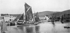
Ramsey Harbour
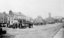
Ramsey Market Place
Appears to be an early morning view before the market stalls have been set up.
