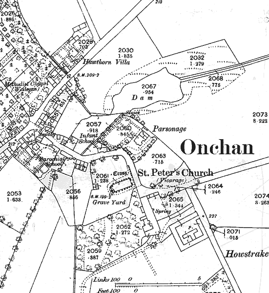
The Plan is taken from 1st edition of O/S dated 1885 but surveyed 1866. The village had seen little development at that time - the road running diagonally mid left to mid-top is the main road Douglas to Laxey.

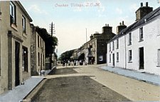
Onchan Village Looking S.W. along main road - The Manx Arms public house can be seen centre picture.
The dog-legged road runs down past Howstrake to Onchan Harbour - the MER was still some 30 years in the future so there were just fields south of here. the road leaving mid right lead to Port Groudle (Groudle Glen development was also some 30 years in the future).
 |
 |
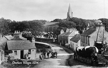
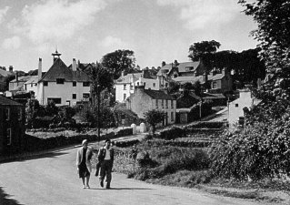
The Valentine postcard view (dating from 1899 or earlier) shows the Butts and is taken from near the smithy looking down SE from the main road towards the church - the foreground cottage had only recently been slated as earlier views show it as thatched.The left hand view dating from the 1930's shows the road looking up towards the houses on the right - the old cottage has been demolished giving an unusual view of the 1897 Baillie Scott Onchan Parish Hall
The Infant school was designed by J Welch.
|
|
||
|
|
||
| Any comments, errors
or omissions gratefully received The
Editor © F.Coakley , 2006 |
||